Aerial Mapping for Environmental & Agricultural Projects
Drone-based mapping, orthomosaics, and site documentation for environmental, agricultural, and field-based projects across NSW.
RePL & AROC certified • NSW-based operator
What We Deliver
Clear aerial mapping outputs for environmental, agricultural, and site-based projects.
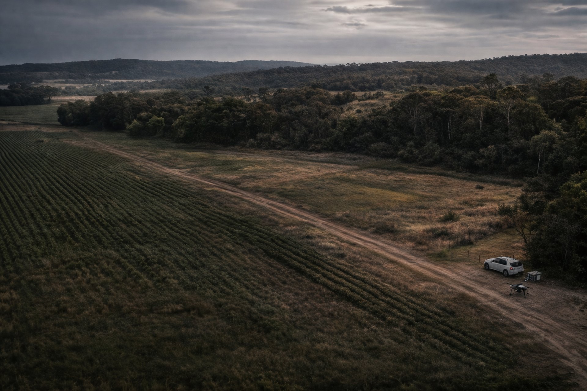
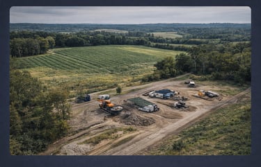
Site and Field Condition Surveys
Repeatable aerial documentation to assess wear, variation, drainage, access, and surface condition.
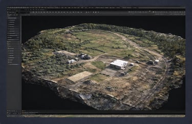
3D Surface / Site Models
Photogrammetry-based surface and site models for terrain, context, and visual reference.
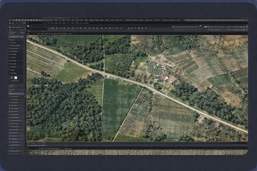
High-resolution stitched aerial maps for field, land, and site overview.

Contact
For environmental, agricultural, and site mapping enquiries across NSW
Phone
info@yaw90.com
Email for phone conversation
Service Area
Sydney and NSW